
Walk An Amarillo Street Record Trail
An Amarillo street directory is a sequence of address-keyed sources. Start by putting the address in USPS format. Determine whether it lies in Potter or Randall County. Search the property source for a parcel or account, then use the City GIS map to see its relationship to nearby lots and a subdivision. Use the official recorder route for a recorded deed or other instrument. Finally, compare dated directory or newspaper evidence if the question concerns an earlier household.
Each result needs its own label. The appraisal association is not proof of title. A deed party is not proof that the person lived at the address. A directory listing is a dated publishing record, not a current occupant list. Write down the street, block, county, account or instrument number, date, and source. That creates a record trail that another person can repeat without guessing.
- Normalize the house number and street through USPS.
- Check whether Potter or Randall County is responsible.
- Find the parcel in PRAD or the Randall tax route.
- Use City GIS for parcel and planning context.
- Search the clerk's index for a dated instrument, then use local historical sources where needed.
Amarillo Street Geography First
City names, postal ZIPs, and county boundaries do not align perfectly. PRAD serves the Potter-Randall appraisal area, but the clerk and court record still belong to the county that holds it. The Randall Street Index is a particularly useful boundary tool because it contains the street, city, ZIP, address range, voting precinct, and justice-of-the-peace precinct. A street and ZIP pairing can help establish county context before entering a name or parcel search.
City GIS displays PRAD parcel data and property lines. The Planning Map adds zoning, subdivisions, FEMA information, school-district boundaries, airport overlay, and neighborhood-plan layers. Both maps need an address anchor. The City describes parcel lines as approximate and informational, not as a survey or legal description. Use the map to orient the street search, then rely on the appropriate property or clerk record for the next step.
Open the Randall County tax search when the address points to Randall County.
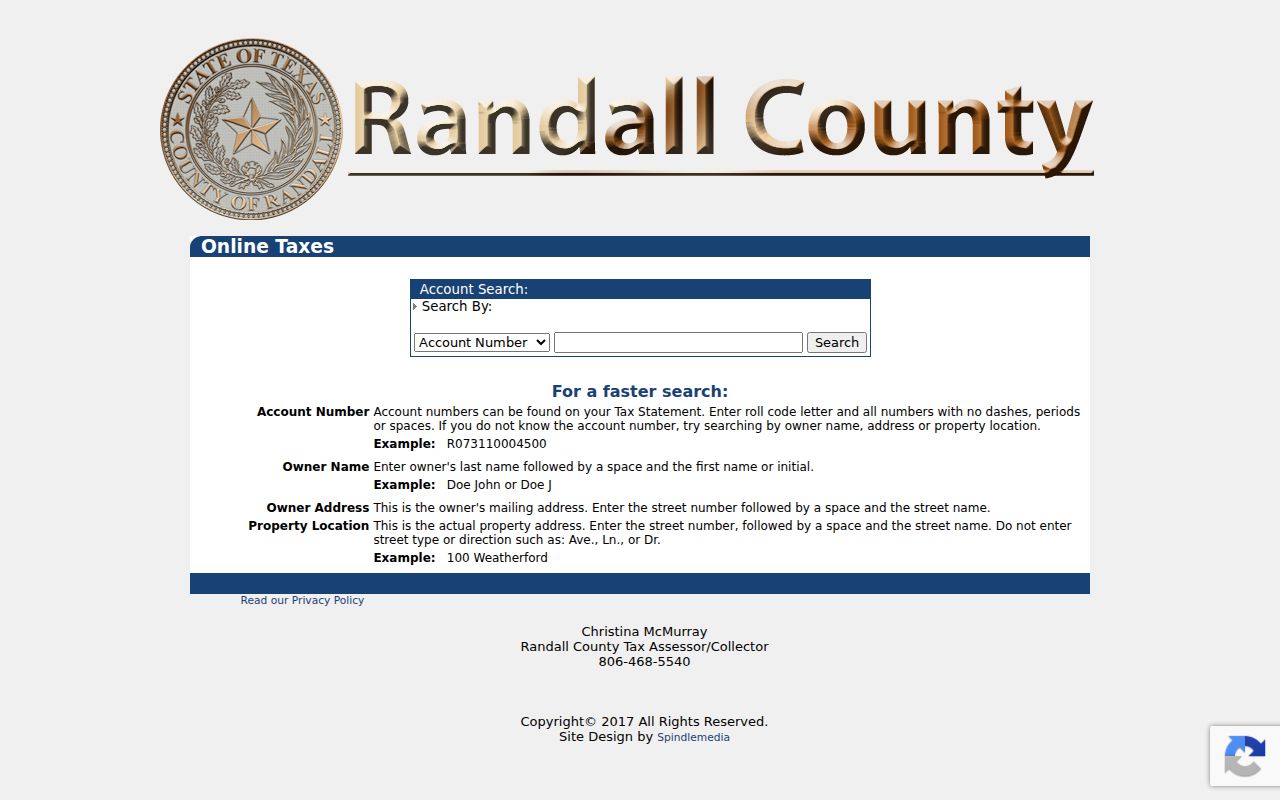
The tax search supplies an address-based county route rather than a citywide resident list.
Amarillo Parcel And Map Fields
The PRAD form is JavaScript-rendered, so its exact field order and coverage dates were not captured in the research. Its official property-search route is still the correct starting point for appraisal and tax context. The observed City GIS parcel layer exposes account, group, and addition identifiers. It did not expose an owner-name field. That difference matters: a map account helps identify land, but it is not a shortcut to an occupant search.
| Field or key | Use in a street search | Limit |
|---|---|---|
| Street number and name | Locates an address in property and map tools | Use normalized USPS formatting. |
| Account | Links a parcel layer to appraisal context | It is not proof of title or occupancy. |
| Group or addition | Helps distinguish a plat or subdivision | Confirm the legal description in an instrument. |
| Owner or party name | Creates a lead for a tax or deed index | Try spelling variants and retain the date. |
View the City GIS parcel-layer schema for the observed account, group, and addition structure.
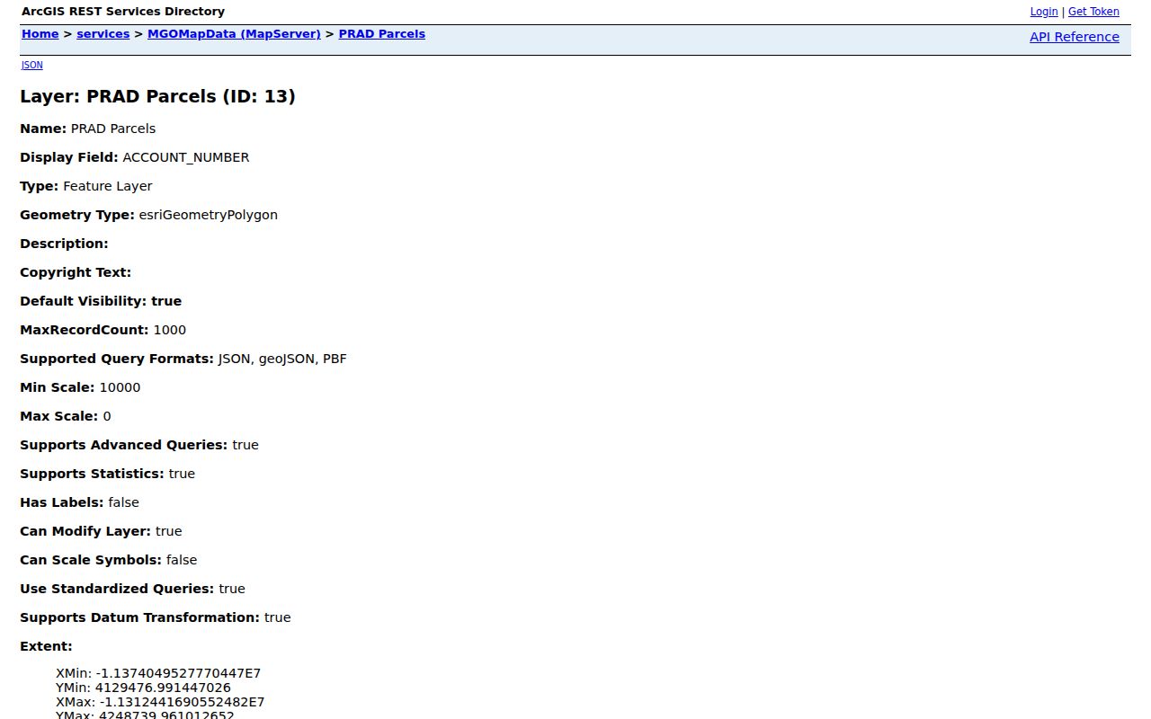
The layer is useful for parcel geometry and identifiers, while PRAD and the recorder answer different questions.
- Parcel
- A mapped tract used for appraisal and tax administration.
- Situs address
- The location of a property, which can differ from a mailing address.
- Plat
- A recorded map that lays out lots, blocks, streets, or additions.
- Criss-cross directory
- An address-arranged directory that can identify a historical listed household.
Records Searchable By Amarillo Street
Several address records can help with a street-by-street question, but their limits should remain visible. PRAD offers appraisal, ownership, value, tax, and historical-data context. City GIS places lots on a map. Potter Official Public Records offers recorded-instrument search. Randall County offers tax search modes and clerk links. Old directories, newspapers, tax rolls, and Sanborn maps add date-specific household or block context. None should be stretched into a list of everyone who lives along the street.
| Address record | What it identifies | Custodian | Access channel |
|---|---|---|---|
| PRAD property record | Parcel and appraisal association | Potter-Randall Appraisal District | Online property route |
| City GIS parcel map | Parcel location and map context | City of Amarillo | Online viewer |
| Recorded instruments | Parties, dates, and legal descriptions | Potter or Randall County Clerk | Index, image where offered, clerk request |
| Street Index | Street range, ZIP, city, and precinct context | Randall County | Official Street Index |
| Historic sources | Dated household or block evidence | Library, archives, and TSLAC | Online and onsite channels |
Potter Deeds Along Amarillo Streets
After an address and parcel are stable, Potter's Official Public Records portal provides the instrument side of the street directory trail. The portal supports grantor and grantee, subdivision, document type, document number, indexed date, meeting-date, OCR or full-text, and quick-period searches. Search the name spelling variants and use the index before broad full-text terms. Record the instrument number, recording date, parties, document type, legal description, and whether an image was available.
The portal disclaimer is part of the result. The online index is a guide, not a certified copy. It may be incomplete or altered, and an image can be unavailable or redacted. A certified copy or the custodian's procedure is the proper next step when legal proof is needed. For an Amarillo house-history question, the deed trail should be paired with dated directory, tax, newspaper, or map evidence rather than called a resident list.
Use the Amarillo Planning Map for a source-led check of subdivisions and related address context.
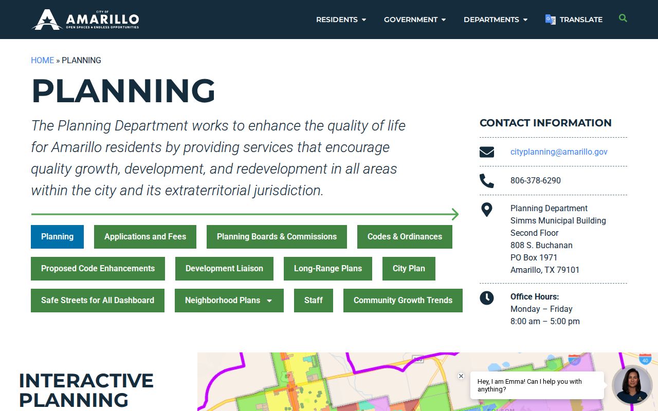
Planning layers help explain where a street sits without identifying a private household.
Amarillo Street Names Change
Historical numbering is a key Amarillo street directory caution. The San Jacinto Neighborhood Plan says annexation after San Jacinto's 1925 incorporation caused both renaming and renumbering. Its 5th Street became 6th Avenue, while former 100 blocks of Fifth became the 2700 block of Sixth. Route 66 arrived in 1926. A pre-annexation directory entry may use a valid historical form that does not match a modern map search.
Preserve the old street name, old number, modern equivalent when verified, block, addition, legal description, and nearby landmark. Search the historical directory street index, newspaper advertisements, and Sanborn maps under both forms. A conversion that cannot be supported should remain uncertain. This prevents a plausible looking, but incorrect, match to a modern parcel.
Older Amarillo Street Listings
A criss-cross directory arranges entries by address, making it a valuable historical street tool. Amarillo Library offers newspaper microfilm, local collections, maps, family biographies, vertical files, and genealogy databases. The UT Center for American History identifies confirmed Amarillo Hudspeth directory years from 1917 through 1969 with gaps. Its telephone holding includes 1953, 1960, and 1970. Use a listed name and year as a starting point, not as proof that a person still lives there.
The 1908 Amarillo Sanborn set has 18 sheets. It can show the building use, block shape, nearby street, and landmarks behind an old directory line. Search the actual collection or catalog for a year, then ask the library or archive whether a street-address index is available. The Amarillo city directory collection page covers the historical shelves in greater depth.
Amarillo Street Search Boundaries
An address search does not reveal every person at a location. The City GIS map is not a people map, appraisal data is not a current occupancy confirmation, and a recorded party may never have occupied the property. Texas voter status and list access carry election-specific restrictions. Address Confidentiality Program participants can use a substitute mailing address. Motor-vehicle personal information also has legal protection. These limits are reasons a careful street directory stays focused on source routes rather than creating a compiled name list.
Note: When sources conflict, keep the conflict in the record trail and compare dates, street forms, and the office that supplied each item.
Amarillo Street ZIP Checks
A ZIP code is useful for checking an address, but it is not a neighborhood boundary or a substitute for county geography. The Texas postal references list Amarillo standard-delivery codes, PO categories, and unique organization destinations. The USPS lookup is the live authority for a particular street address. A ZIP can cross expectations about a City boundary or county route, and some Amarillo codes are special-use rather than residential delivery areas.
Use the full address in USPS first, then compare the city, county, street range, and parcel information. The Randall Street Index offers an extra local check because it couples street, ZIP, range, voting precinct, and JP precinct. Do not infer a block's municipal area, current residents, or ownership from a ZIP alone. When the ZIP narrows an address to a street, the Amarillo ZIP code directory explains the postal categories and their limits.
Amarillo Street Record Alerts
Potter County Clerk materials include property-fraud alert information. That service is a consumer-protection monitor for documents recorded in a registered name, including deeds, powers of attorney, and satisfactions. It is not a title examination and does not replace a search of the Official Public Records index. A street researcher who sees an unfamiliar recorded document should note its date and number, then use the Clerk's process to inspect or request the actual record.
Online access can also change. Potter County's 2025-26 budget describes a planned Avenu cloud records upgrade and future preservation or digitization work for commissioners' books. A saved street-directory link may therefore lead to an updated search experience later. Date the search, preserve the actual source URL, and ask the office how to obtain a missing or older item. That is more reliable than assuming an empty current portal means the historical record does not exist.
Amarillo Street Record Checklist
Before relying on an Amarillo street result, compare the form of the address and the date of the source. The same place can be shown as a situs address, a mailing address, a legal description, an older street name, or a current postal form. A property account may be in PRAD while a deed is indexed by a party name and legal description. The City GIS map can identify the parcel's position, but it does not replace a survey. A directory or newspaper can identify a dated household association, but it can lag a move or omit people entirely.
A practical checklist keeps the search bounded: county, normalized address, old and current street forms, ZIP, parcel account, addition, legal description, instrument number, document date, directory year, and source URL. Mark the record type as appraisal, map, recorded instrument, directory, newspaper, or clerk copy. When an element conflicts, do not choose silently. Compare the dates and source roles, then describe the uncertainty. This preserves the value of a street directory search while avoiding an unsupported claim about a person or property.