
Amarillo Neighbor Block Sources
For Amarillo neighbors, a public source should answer one limited block question at a time. City GIS can show the target parcel and adjoining parcel geometry. PRAD supplies appraisal and tax context. The County Clerk's recorded-instrument index can identify dated parties and legal descriptions. Planning layers explain subdivision, zoning, school-boundary, FEMA, and neighborhood-plan context. Historical directories, newspapers, and Sanborn maps can tie a name to a block at a particular date. None functions as a current resident roster.
| Block source | What it shows around an address | Access |
|---|---|---|
| City GIS | Target and adjoining parcel geometry | Online informational viewer |
| PRAD property source | Appraisal and account association | Official property-search route |
| County official records | Recorded parties and legal descriptions | Index, image when offered, clerk request |
| Planning Map | Subdivision and planning-area context | Online City layers |
| Historic collections | Dated block and household evidence | Library, archive, and map channels |
An owner, taxpayer, recorded party, and current neighbor are different labels. Keep that distinction visible at every step.
Mapping An Amarillo Block
Use one address as the geographic anchor. The City GIS map uses PRAD parcel data and displays property lines. Its Planning Map adds zoning, subdivisions, FEMA, school districts, and overlays. Start with the target parcel, click or inspect the parcels that share a boundary or sit across the street, and record the account or map identifier. The City warns that parcel lines are approximate and not a survey or legal description, so a boundary question needs the appropriate recorded or survey evidence.
- Normalize the target address and identify Potter or Randall County.
- Locate the address in City GIS and note the parcel account, group, or addition where shown.
- Inspect the immediately adjoining parcels, not an arbitrary wider name list.
- Use PRAD or the county route for appraisal context, then the clerk index for a dated instrument.
- For a historical question, compare a directory, newspaper, or Sanborn map from the relevant year.
The Amarillo street directory route is the better choice when the question expands from an immediate block to a full named street.
Amarillo GIS Parcel Context
The City GIS parcel layer is a map tool, not a people tool. Research observed account, group, and addition fields in the parcel-layer schema, along with polygon geometry. The schema did not expose an owner-name field. That is useful context for a neighbor search because it keeps the first step focused on location. Once the lot is stable, PRAD and a county clerk portal can supply their distinct record associations.
Planning layers can show why a block is grouped with a subdivision, neighborhood plan, zoning area, school boundary, FEMA layer, or airport overlay. This is spatial context. It does not define who belongs to a neighborhood or prove that someone lives at a particular address. Use the layer with the source date and describe its function accurately.
View the PRAD tax-account parcel service to see the source layer route.
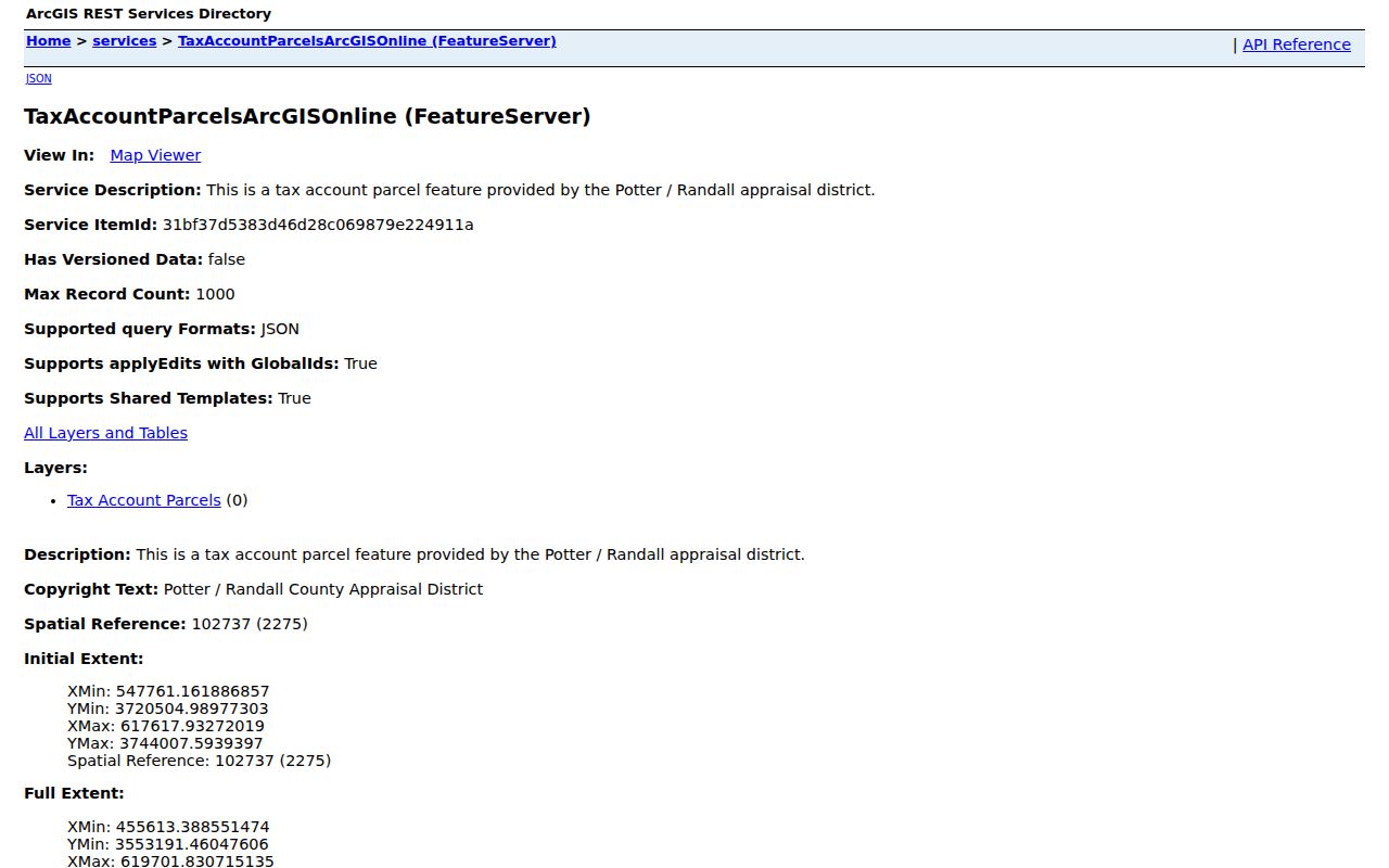
The parcel service supports lot-to-lot orientation before an official appraisal or instrument check.
- Adjoining parcel
- A parcel sharing a boundary with the target lot.
- Legal description
- The recorded property description used to distinguish a tract from a street address.
- Appraisal association
- A name or account relationship in an appraisal record, not proof of occupancy.
- Subdivision
- A recorded development or addition that groups platted lots.
Amarillo Neighborhood Plan Context
Neighborhood-plan material can make a block search more specific without turning it into a resident directory. City sources identify North Heights, Barrio, Eastridge, and San Jacinto as recognized neighborhood-association or plan contexts. These are useful labels for planning history and boundaries, but they are not exhaustive legal divisions for every Amarillo address. The City association toolkit describes organization and membership-form processes, not a public membership roster.
| Local context | What the official material offers | Safe use |
|---|---|---|
| North Heights | Plan page, boundary and advisory context | Use for neighborhood geography. |
| San Jacinto | Association background and historical plan | Use for old street and block context. |
| Eastridge | Plan history and development dates | Pair with dated maps and directory years. |
| Barrio | Recognized plan context | Do not infer an individual roster. |
Use the City neighborhood-plans page for the official program and association context.
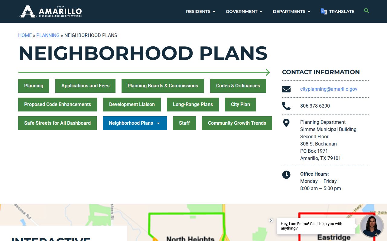
Neighborhood-plan pages explain areas and projects, not who currently lives within them.
San Jacinto Block History
Street changes can make apparent Amarillo neighbors look different across time. The San Jacinto Neighborhood Plan records that annexation after the area's 1925 incorporation led to street renaming and renumbering. San Jacinto's 5th Street became 6th Avenue, and former 100 blocks of Fifth became the 2700 block of Sixth. Route 66 arrived in 1926. An older directory, ad, or map may therefore name the same block with a different street form.
Keep both forms in the block notes: old street, old number, newer street, newer number when supported, addition, legal description, and nearby landmark. A 1908 Sanborn map can show the earlier footprint and building use, while a directory or newspaper can supply the dated name bridge. Do not assume that a number conversion is certain merely because it resembles the San Jacinto example.
Read the San Jacinto Neighborhood Association background alongside the City's historical plan context.
The association source supplies neighborhood background, while dated public records supply the address trail.
Amarillo Neighbors In Old Sources
Historical block research needs converging, dated evidence. Amarillo Library has newspaper microfilm, maps, Sanborn map books, vertical files, family biographies, and genealogy databases. The UT Center for American History identifies specific Hudspeth directory years. TSLAC's newspaper inventory lists Amarillo title runs from 1895 through 2002 with gaps and title changes. County tax-roll material can add a taxpayer association, although TSLAC warns its rolls are grouped by initial and are not strictly alphabetical or fully indexed.
For an old block, start with the directory year, then the newspaper issue, tax-roll year, Sanborn sheet, recorded instrument, and modern parcel identifier. A directory can list a resident but may lag a move. A deed can identify a party but not an occupant. A map can describe a building but not name every person there. Strong conclusions have at least two independent dated sources.
Official And Commercial Neighbor Tools
Official tools identify a record source and its scope. City GIS identifies parcel geometry and planning layers. PRAD supplies appraisal context. The clerk index supplies recorded instrument information. Commercial neighbor tools may combine public and brokered data, but their entries can be stale, incomplete, or attached to a same-name person. They should never replace a custodian's record for a property question.
| Tool category | Useful question | Required caution |
|---|---|---|
| Official map | Which lots are next to the target? | Parcel lines are informational and approximate. |
| Appraisal source | Which account is tied to this lot? | It does not confirm occupancy or title. |
| Recorder index | Which instrument is associated with a legal description? | Index and images may need clerk verification. |
| Commercial tool | Could a lead need verification? | Verify all material details with the responsible office. |
Privacy Limits For Amarillo Neighbors
Public sources leave important information out by design. A parcel map does not show an occupant list. A tax account does not prove who lives in a building. Voter records follow election-specific rules. The Texas Address Confidentiality Program gives eligible participants a substitute mailing address, and motor-vehicle personal information has legal protection. No public neighborhood source located in the research provides a membership roster for the City-recognized associations.
Note: A safe block record keeps only the source URL, date, parcel or instrument identifier, and the limited fact that source supports.
Amarillo Block County Checks
A block may require more than one geography check. Amarillo is centered in Potter County, but some City addresses and mailing addresses reach Randall County. PRAD can help locate the appraisal account across the area, yet the recorded instrument, tax route, court file, or election contact must follow the responsible county. Begin with the street address and full ZIP, then use the Randall Street Index when a location could fall south or west of the Potter County route. Its ZIP, range, voting-precinct, and JP-precinct columns are especially helpful for distinguishing a street with the same city name from its county records path.
Postal geography adds another limit. Amarillo ZIP references include standard delivery, PO categories, and unique organization codes. The live USPS address lookup is the authority for a particular delivery address, while a ZIP by itself does not establish a City limit, neighborhood, county, or household. Preserve the full normalized address in a block record, then compare the parcel and legal description before reading any property association as an Amarillo neighbor connection.
Amarillo Neighbor Source Notes
Keep a short source note for each Amarillo neighbor finding. Record the normalized address, county, map or parcel identifier, source URL, date checked, and the limited fact shown. For a recorded instrument, add the instrument number, parties, recording date, document type, and legal description. For a historical source, add the directory year, newspaper issue, map sheet, or tax-roll year. These small details make it possible to compare two block sources without turning either one into a claim about a current private household.
When a map, appraisal source, and historical directory point in different directions, their dates often explain the difference. A parcel boundary can remain while a street name changes, an appraisal association updates, or a household moves. Keep the source trail rather than selecting the most convenient name. That careful method is more useful for Amarillo neighbors, family history, and block curiosity than a list that cannot show its origin.